

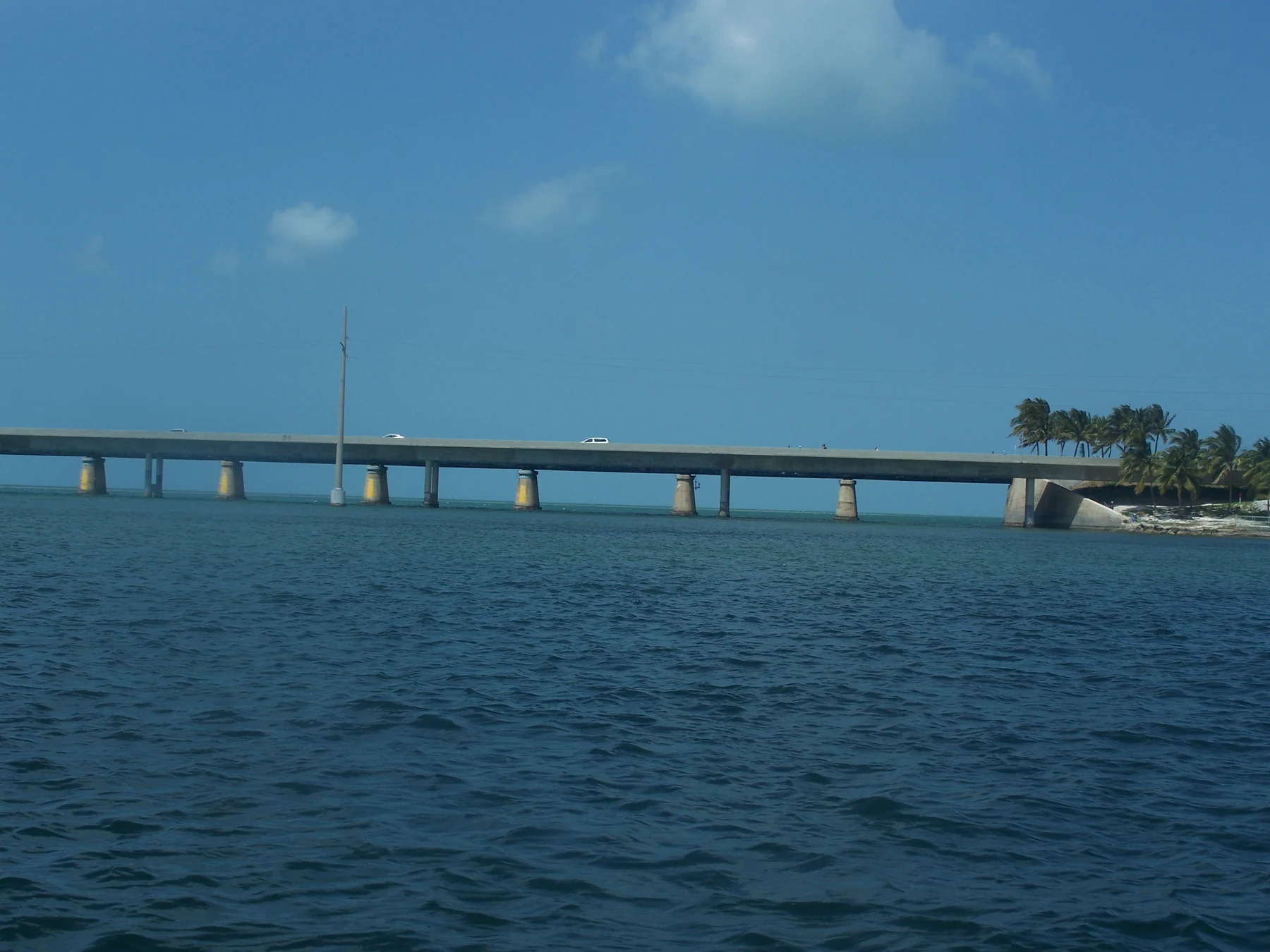
 01 / The crossing
Drive the modern bridge
U.S. 1 carries you between Marathon's Knights Key and the Lower Keys on the present Seven Mile Bridge. It is a road crossing, not a scenic pull-off: keep moving with traffic and save your photos for a legal stop on land.
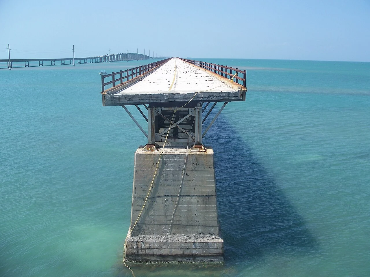 02 / The old span
Walk a different story
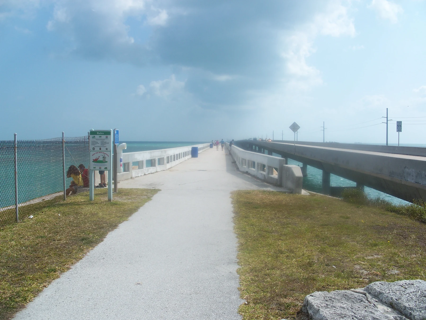
The restored Marathon-to-Pigeon-Key portion of Old Seven is a pedestrian and bicycle route. It is about 2.2 miles each way, so a round trip can feel much longer under the Keys sun than a quick look at a map suggests.
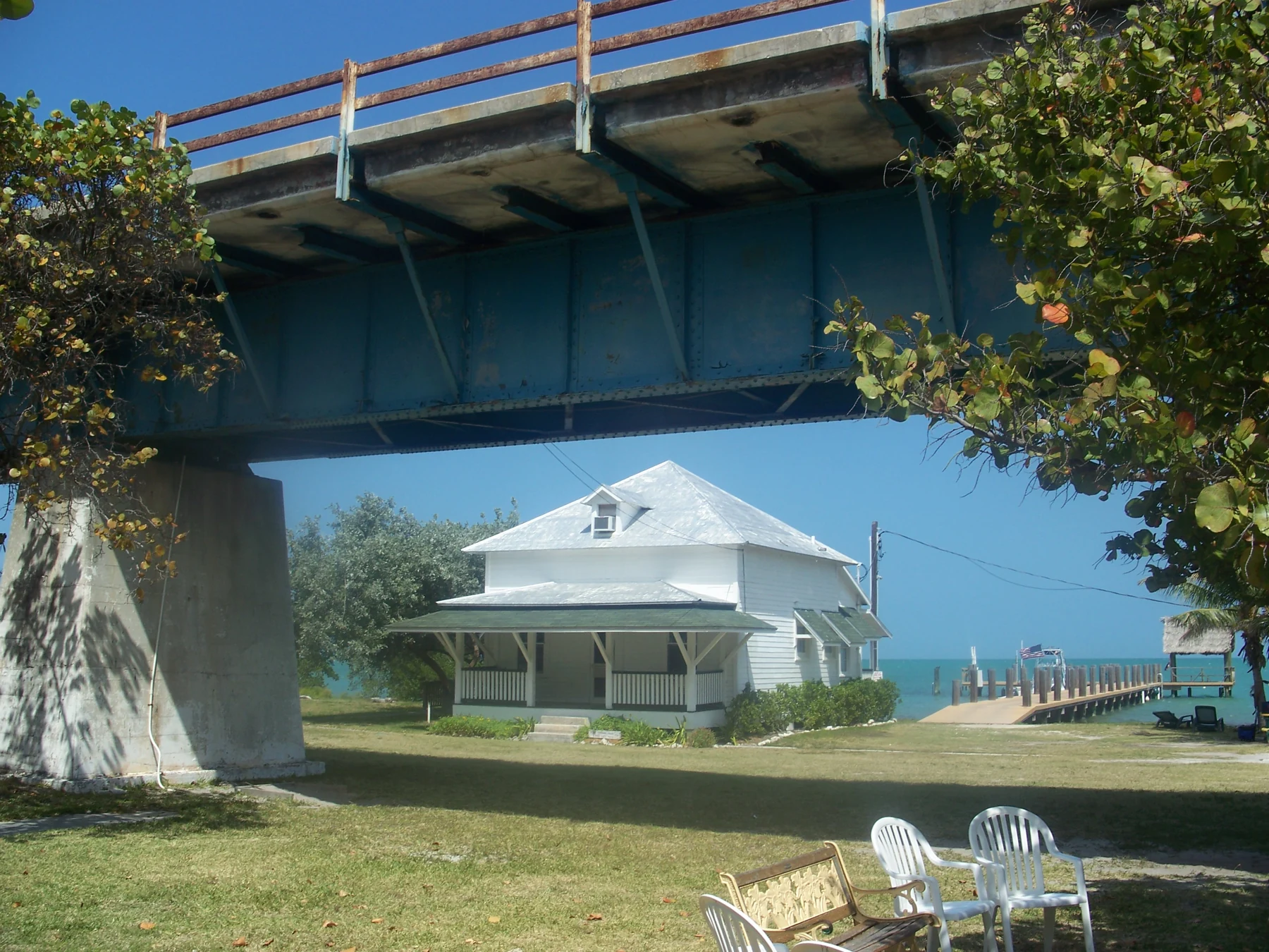 03 / The island
Meet Pigeon Key
The former railroad work camp is now a small historic island and museum. Reaching the bridge is free; access to Pigeon Key itself is managed separately. Check the island's official visitor information before setting out.
Find the bridge. Choose your starting point.
The map centres on the Seven Mile Bridge area. For a visit on foot or an island tour, route to the Pigeon Key Visitor Center in Marathon, then follow current parking and access instructions. The bridge itself is not a roadside stopping place.
These links open live driving directions: compare traffic, tolls and arrival times before leaving. From Miami Beach, first return to the mainland; from the north, continue through the Upper and Middle Keys on U.S. 1. From Key West, travel north through the Lower Keys. Do not use an old bridge fragment as a through-route.
Official visitor-centre and parking information · Full location and access guide
The crossing that made the Lower Keys reachable
The former 7 Mile Bridge site's surviving April 2025 homepage centred on two parallel structures rather than one: the historic bridge beside the road and the current U.S. 1 crossing. It described the route between Key Vaca, where Marathon sits, and Little Duck Key in the Lower Keys. That geography still explains the moment of arrival: the highway leaves the close-set islands and opens onto a broad channel with water on both sides.
Construction of the older railroad bridge took place from 1909 to 1912 as part of Henry Flagler's Key West Extension of the Florida East Coast Railway. The line reached Key West in 1912. The 1935 Labor Day hurricane ended through-rail service, and the surviving structures were subsequently adapted for road traffic. The archived account also noted later hurricane damage and alterations to the former swing span near Pigeon Key. The highway bridge in use today was built from 1979 to 1982, while a portion of the original route survives as Old Seven.
Those dates are not merely a timeline. They explain the contrasting experience of the same landscape: a working highway engineered for cars on one side, and a slower, historic path toward Pigeon Key on the other. The archived homepage also mentioned the bridge's appearances in popular films, including True Lies. We have retained that part of its cultural story without suggesting that a film scene identifies an accessible section of the bridge today.
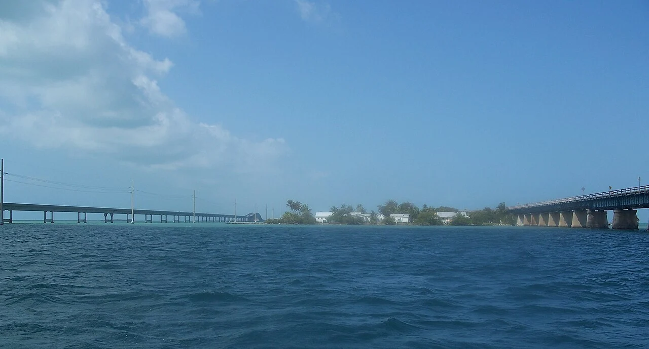

Why the parallel spans matter
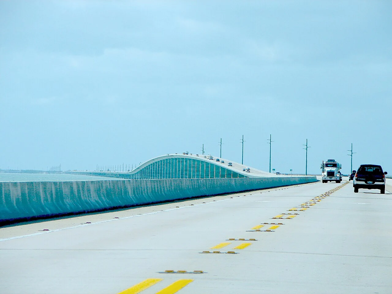
Most travelers first encounter Seven Mile Bridge through a windshield: open water on either side, a low line on the horizon, and an extraordinary sense of distance. The modern bridge opened in 1982 and measures approximately 6.79 miles. Beside it, fragments of the earlier route tell a different story—Henry Flagler's ambitious railroad, the road conversion that followed, and today's carefully restored recreational section.
The two bridges should not be treated as interchangeable. The current highway is the route to the Lower Keys. The restored section of Old Seven is a place to slow down, walk or cycle toward Pigeon Key, and read the landscape. Other portions of the old structure are not a continuous public trail. For a history-first visit, start with our guide to Old Seven; for logistics, read where to stop and how to approach.
 Field guide / 01Old Seven Mile BridgeWalking, cycling, Pigeon Key and the railroad story
 Field guide / 02Pigeon KeyWhat the island is—and what to check before your visit
 Field guide / 03Location & viewpointsApproach from Marathon without stopping on the highway
Photograph credits for the six guide cards
- The modern Seven Mile Bridge viewed from Pigeon Key in 2011. Ebyabe. Source photograph · CC BY-SA 3.0. Resized, converted and displayed with a cropped framing; scene unchanged.
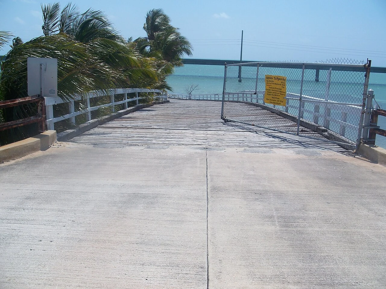
- Old Seven Mile Bridge near Pigeon Key before restoration, 2011. Ebyabe. Source photograph · CC BY-SA 3.0. Resized, converted and displayed with a cropped framing; scene unchanged.
- Paint Foreman’s House beside the old bridge on Pigeon Key, 2011. Ebyabe. Source photograph · CC BY-SA 3.0. Resized, converted and displayed with a cropped framing; scene unchanged.
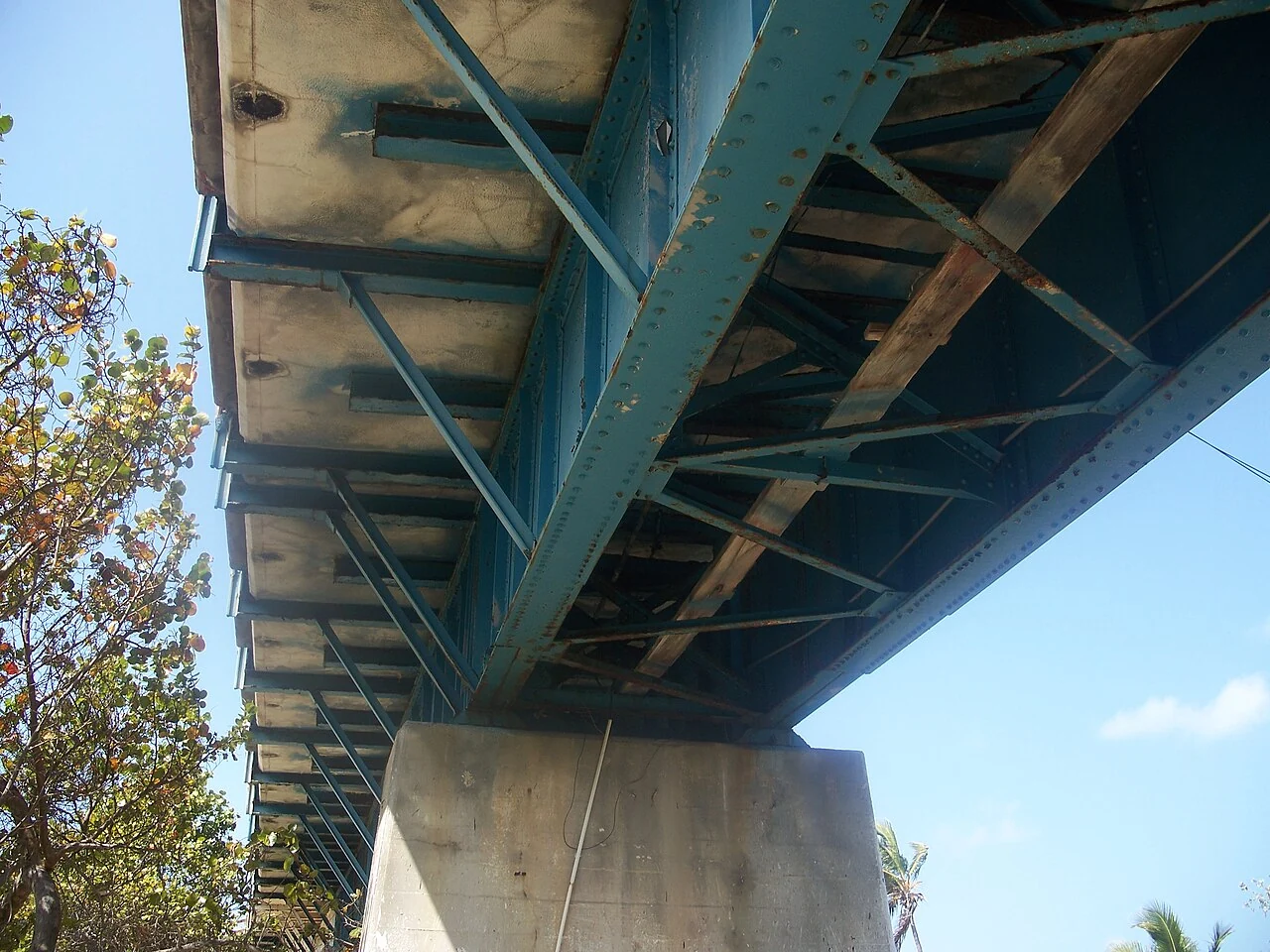
- Historic bridge supports and steelwork at Pigeon Key, 2011. Ebyabe. Source photograph · CC BY-SA 3.0. Resized, converted and displayed with a cropped framing; scene unchanged.
- Ramp connecting Pigeon Key with the old bridge, photographed in 2011. Ebyabe. Source photograph · CC BY-SA 3.0. Resized, converted and displayed with a cropped framing; scene unchanged.
- Seven Mile Bridge viewed from its northern end. Summ. Source photograph · CC BY-SA 3.0. Resized, converted and displayed with a cropped framing; scene unchanged.


A useful half-day around Marathon
- Choose your objective. A highway crossing, a short bridge walk, and a Pigeon Key tour are three different experiences. Decide how much time and heat exposure suit your group.
- Stop on land. If you want to explore Old Seven, park only in a designated area near its Marathon entrance. Spaces may be limited. Do not turn the active highway shoulder into an observation deck.
- Bring what the route lacks. The old span is exposed. Carry water, sun protection and a realistic plan for returning the same distance. Check weather and local alerts before starting.
- Continue with context. Bahia Honda State Park is farther south and has its own historic bridge view, but it is a separate park with its own access rules and capacity limits.
For current bridge and island conditions, use the Florida Keys tourism guide and the Pigeon Key Foundation. This site is independent and does not operate the bridge or sell island admission.

Answers to the questions the drive cannot settle
Can I stop on the modern Seven Mile Bridge? Treat the active U.S. 1 crossing as a road, not a viewpoint. Do not stop in a traffic lane or use a highway shoulder for sightseeing. For a slower look at the water, use the managed Old Seven route from Marathon or another legal stop on land.
Can I walk from one end of the Keys crossing to the other? Not on the historic bridge. Its public restored section reaches Pigeon Key, approximately 2.2 miles from the Marathon side. Allow for the return distance and the lack of shade. The modern bridge is not a pedestrian promenade.
Is Pigeon Key included in the bridge walk? No. The island is a separate historic visitor site. The bridge can be experienced without entering it; for exhibits or a guided visit, check current admission, access and tour arrangements directly with the Pigeon Key Foundation.
What about the famous film scenes? The former site's homepage cited True Lies, 2 Fast 2 Furious and other productions as part of the bridge's screen history. Movie effects and old footage are not a map of present-day access. Plan a visit using current official guidance, not the films.
Three ways to experience the same crossing
A satisfying visit starts by separating the journey from the destination. A drive over the modern Seven Mile Bridge gives a wide, moving view of the water and the old structure. A walk on Old Seven provides time to look closely at that landscape. A Pigeon Key visit adds the buildings, exhibits and human history that cannot be understood from a car window. None is a substitute for the other, and trying to fit all three into an unplanned roadside stop usually creates avoidable pressure.
For a brief break on a longer road trip, choose a legal land-based stop and a short out-and-back walk. There is no need to reach the island to make the visit worthwhile. For a walking-focused morning, allow a generous block of time and make the return distance part of the plan. For a history-focused visit, look at the island operator's transport and tour options first, then decide whether walking fits around them. Our Pigeon Key guide explains the difference between bridge access and island admission.
The same approach helps groups with different interests. A keen photographer may want to wait for changing light, while someone else wants a short walk and a shaded lunch. Decide on a meeting point and return time before separating. Do not rely on being able to buy an unscheduled return ride at the island, or on finding a parking space immediately before a booked departure.

Seven miles is a name, not a walking itinerary
The current highway crossing is approximately 6.79 miles long, but the restored recreational route from Marathon to Pigeon Key is a much shorter section of the historic bridge. Those measurements describe different structures and different activities. Searching for a “seven mile bridge walk” should not lead you to expect a continuous seven-mile pedestrian promenade beside the road.
At an illustrative walking pace of 2 miles per hour, a 4.4-mile return journey takes about 2 hours 12 minutes of moving time. That calculation does not include photographs, stops, an island tour, heat-related breaks or the walk from your parking place. It is a planning example, not a promised completion time. A short walk chosen to suit the slowest member of a group is often a better visit than a full-distance walk undertaken because the name sounds manageable.
The bridge is in the Marathon area of the Florida Keys, not in central Key West. Key West is farther along the Overseas Highway. Nor should the familiar description “longest bridge in the Keys” be expanded into an unsupported claim that it is Florida's longest bridge by every possible measure. For trip planning, the important question is where the crossing sits on your route and which side offers access to the experience you want.
Build a small visual story instead of one postcard
Start with a wide view that explains the relationship between water, shoreline and bridge. Then make a closer photograph of a structural detail, a weathered surface or the rhythm of the supports. If you visit Pigeon Key, a building and its setting add a different scale to the story. These images are more informative together than six almost identical views toward the horizon.
Light changes the apparent colour of the water. Cloud, glare, wind and viewing angle can make the same scene look quite different within a short period. Avoid judging conditions by a heavily processed photograph found online. A polarizing filter may reduce some reflections, but it can also make a wide sky look uneven. Take a simple frame first, check the result, and make adjustments without blocking the shared path.
Keep both feet in a permitted public area. Do not climb barriers, step onto an abandoned section or stop a vehicle on the active bridge to recreate a famous image. A telephoto view from a legal position can show distant details without changing where you stand. In the photographs on this site, dates and credits distinguish historical views from current visitor instructions; an old image is not evidence that the same route remains open today.
Plan around one anchor activity
If you have a morning, choose either a substantial bridge walk or an island tour as the anchor activity. Put parking, toilets, water and check-in before that activity, not after it. Leave enough flexibility to shorten the walk if conditions feel uncomfortable. An itinerary that only works at the fastest possible pace is not a useful plan for a family or a mixed-ability group.
For an afternoon stop while travelling south, make your onward drive part of the calculation. Waiting for sunset may leave you driving an unfamiliar stretch after dark. A sunset photograph is optional; reaching your destination comfortably is not. If you are travelling north, use a lawful turn and signed approach rather than improvising a U-turn to reach a viewpoint you noticed too late.
On a day with uncertain weather, keep an alternative that does not depend on a long exposed walk. An official museum or guided activity may be a possibility, but check its operating status rather than assuming it will be available in bad weather. The useful decision is not “Can we fit the bridge in?” but “Which version of the visit works for today's group and conditions?”


Cycling and fishing require their own route checks
The wider Florida Keys Overseas Heritage Trail is a network of paved segments, not a promise of an uninterrupted protected route at every point. The state park service publishes a map and closure notices. Use those when planning a longer ride; the recreational Old Seven section does not by itself establish a through-route across the complete highway crossing.
Similarly, a photograph of someone fishing from a Keys bridge does not establish that fishing is permitted from your chosen spot. The state park service describes designated historic fishing bridges and also lists closures. Consult the official fishing overview, current site signs and the relevant fishing regulations. Do not cast across a walking route or infer permission from the word “bridge” in a search result.
Our location guide concentrates on approaches and parking. The visitor notebook covers shared-path etiquette, weather decisions and reading local information. Those practical details are what turn a striking landscape into an enjoyable stop rather than a rushed photograph.
A quick decision guide for first-time visitors
If you are mainly driving to Key West: the modern bridge is part of the route, not a separate detour. Decide in advance whether you also want a land-based stop. Without that decision, it is easy to notice the old structure only after you are already committed to the crossing. Keep your attention on the road and make the stop later if necessary.
If you want a memorable walk: use the Old Seven page and choose a distance you can comfortably repeat on the return. Start with the walk as the main activity, not as a rushed addition between two bookings. A shorter visit with time to look around can be more rewarding than reaching Pigeon Key and immediately turning back.
If history is the priority: make the island tour the centre of the visit. Read the current transport arrangements before choosing between walking and riding. The buildings and exhibits add the human scale that a highway view cannot provide.
If photography is the priority: choose legal access and a manageable time window before choosing equipment. A clear, well-observed set of images made without obstructing others is a better result than a spectacular angle reached by ignoring a barrier. Bring curiosity about the place, not an expectation that every view will match a promotional photograph.

Build a useful day around your bridge visit
History on Pigeon Key
Pair the old-bridge walk with the island museum and a guided history tour. Island admission is separate from the public bridge route, so check the operator’s arrangements before committing to a long walk.
Plan an island visit →Bahia Honda, farther south
Make a separate stop for beaches and the historic Bahia Honda Bridge viewpoint. This is another bridge and another managed site, not the southern end of the Old Seven walking route. The park can reach capacity.
Park access and current notices →A meal on land
Sunset Grille is by Knights Key at the bridge approach. For other Marathon stops, compare Keys Fisheries and 7 Mile Grill. Open their own menus and hours before travelling; these are independently operated businesses, not our partners or personal restaurant reviews.
See the place before you go
Watch the Pigeon Key Foundation’s live island webcam → for a moving view from the actual site. It is not a traffic camera or a guarantee that the path is open.
For archival moving images of the wider Overseas Railroad, the Florida State Parks history page includes historical train footage. It concerns the railway and Bahia Honda context; do not mistake it for a present-day Seven Mile access guide.
Read visitor comments published by Pigeon Key and open the place listing in Google Maps to compare recent visitor photos and reviews. Operator-selected testimonials and individual reviews are different kinds of evidence; check dates and look for details relevant to your party, such as heat, walking distance and mobility. No rating or personal experience is claimed here.
How the modern bridge was assembled
The present crossing is a different structure from Flagler’s railroad bridge. Designer FIGG describes a 1982 precast, post-tensioned concrete box-girder bridge, with 264 spans over a length of 35,867 feet. Factory-made concrete sections were assembled into spans, with internal steel tendons tying the pieces together. The repetitive system is what makes the long, low crossing legible from the shore: a sequence of supports and spans rather than one uninterrupted beam.
Use this schematic to recognise the structural idea, not to infer dimensions or maintenance condition. The Transportation Research Board’s 1982 record on span-by-span placement provides a technical starting point. For the earlier railroad, road conversion and surviving walking section, continue to the Old Seven history and visitor guide.